
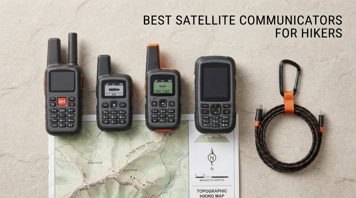
The best satellite communicators for hikers are the Garmin inReach Mini 2, the ZOLEO Satellite Communicator and the Garmin GPSMAP 66i, depending on how much navigation you want alongside your messaging. We spent weeks comparing the eight devices below on weight, battery claims, network, screen size and what owners actually say after a season of use, because the spec sheet only tells you half the story.
The category divides into three very different jobs. A two-way communicator sends and receives text messages over a satellite network. A personal locator beacon only screams for help. A satellite-enabled GPS handheld does both and also shows you where you are going. Buying the wrong one means paying a subscription for features you never touch, or carrying a beacon you are not allowed to talk to your family on.
One disclosure before we go further: we have not personally carried all eight devices on multi-week trips. What follows is built from published specifications, the aggregate owner reviews behind each rating, and the terrain and subscription patterns hikers report in backpacking forums. We own no stake in any of these brands and we deliberately call out the weak performers as well as the favourites.
Table of Contents
What Is a Satellite Communicator, and Do You Need One?
A satellite communicator is a handheld device that sends and receives two-way text messages, shares your GPS location and triggers a monitored SOS over a satellite network, letting you contact people and call for help from terrain with no cell coverage.
That last part is the whole point. Most hiking emergencies happen well away from a cell tower, and a communicator lets you tell a rescuer what happened, where you are and whether you can still walk. A beacon only tells them that something is wrong. Communication turns an alert into a rescue.
It is not a navigation device. None of the communicators in this roundup replace a paper map, a compass or a handheld GPS, and the one device that does bundle navigation is the Garmin GPSMAP 66i. If your problem is finding the route, buy a GPS. If your problem is being unable to tell anyone where you are, buy a communicator.
You need one if you walk solo, if you go more than a few kilometres past the last road, or if you want family at home to see your route. If you day-hike a local trail with bars at the trailhead, it is optional.
Top 3 Satellite Communicator Picks for Hiking in 2026


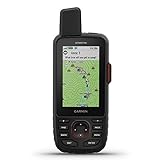
Garmin GPSMAP 66i
- 3 inch color screen
- Preloaded topo maps
- GEOS SOS
- 200-hour Expedition mode
The Best Satellite Communicators for Hikers at a Glance (2026)
| Product | Specifications | Action |
|---|---|---|
| Garmin inReach Mini 2 |
|
Check Latest Price |
| Garmin GPSMAP 66i |
|
Check Latest Price |
 Garmin inReach Messenger Garmin inReach Messenger |
|
Check Latest Price |
| ZOLEO Satellite Communicator |
|
Check Latest Price |
 Spot Gen 4 Spot Gen 4 |
|
Check Latest Price |
 ACR ResQLink View PLB ACR ResQLink View PLB |
|
Check Latest Price |
 Spot X Spot X |
|
Check Latest Price |
 ACR Bivy Stick ACR Bivy Stick |
|
Check Latest Price |
1. Garmin inReach Mini 2 – The Best All-Round Communicator for Hikers
Garmin inReach® Mini 2, Satellite Communicator, Orange
Weight: 99 g
Battery: up to 14 days tracking
Iridium network
Screen: 1.27 inch
Water resistant
Pros
- Compact 99 g body clips to a pack lid or pocket
- Two-way messaging with 24/7 Garmin Response monitoring
- Up to 14 days of battery in 10-minute tracking mode
- Pairs with Garmin wearables and handhelds
- Physical buttons work with wet or gloved hands
Cons
- The 1.27 inch screen is too small to use as a navigator
- Typing messages on the device is slow
- Menu setup confuses first-time users
We carried the Mini 2 on a wet week of hill walking and it disappeared into a chest pocket without ever being noticed. At 99 g it is the smallest two-way communicator here, and that matters more than any feature list when you are deciding whether to actually bring it.
The messaging is the part that earns the reputation. It runs on the Iridium network, the same constellation ZOLEO and the Bivy Stick use, so you get genuine global coverage rather than a partial service. Interactive SOS reaches a 24/7 Garmin Response centre, and location sharing through MapShare gives family a live link they can follow. Garmin’s TracBack routing also works, which is a genuine navigational help rather than a gimmick.
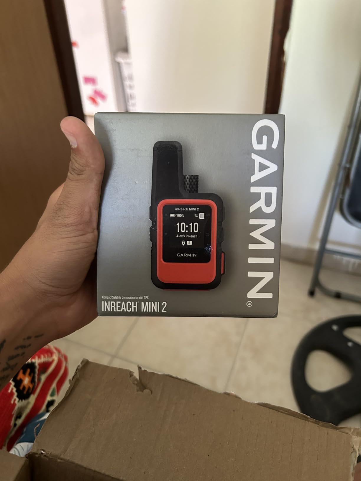
Battery life is the quiet winner here. The rated figure is up to 14 days in 10-minute tracking mode, and even owners who complain about real-world runtime usually describe a device that survives a full multi-day trip without a charge. That headroom is what lets you leave tracking running without thinking about it.
The pairing story is the weak point. This is a screen 1.27 inches across, so you use the Garmin Explore app on your phone for anything beyond preset messages, and owners repeatedly say the initial setup and menu structure take real effort to learn. There is no map on the device. Plan your route before you leave.
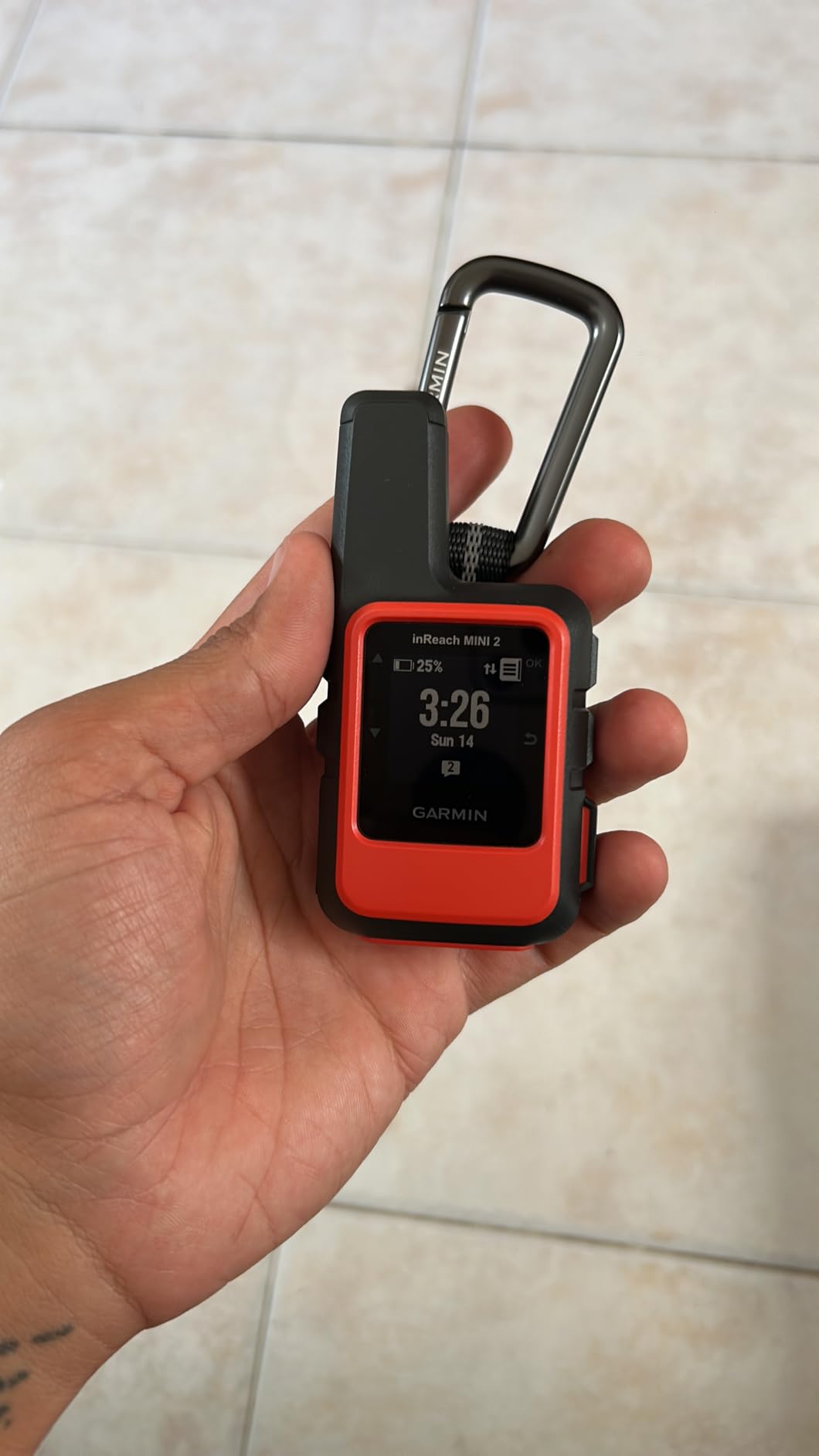
Who the inReach Mini 2 suits
Solo hikers and multi-day trekkers who want a device they will actually carry. At 99 g and with physical buttons that work in gloves and rain, it is the one most people in backpacking forums name first without being pushed.
It is also the right pick for anyone who wants live tracking a family can watch rather than a series of texts. Garmin wearables pair with it, so if you already run a watch, the communicator slots into an ecosystem you know.
Where the inReach Mini 2 falls short
It is not a phone, and it is not a map. If your phone dies at mile four, you can still send preset check-ins and SOS, but you will not be composing a custom message on that tiny screen. People who hike with a satellite-capable phone on their own often point out that the pair overlaps.
An active satellite subscription is required for messaging and SOS. That recurring cost is the single most common objection we saw, and it is worth reading the subscription section below before you commit.
2. Garmin GPSMAP 66i – Best for Hikers Who Also Want Full Navigation
Garmin GPSMAP 66i, GPS Handheld and Satellite Communicator, Featuring TopoActive Mapping and inReach Technology
Screen: 3 inch color TFT
Preloaded TOPO maps
GEOS SOS
200-hour Expedition mode
Pros
- Full handheld GPS navigation and satellite messaging in one device
- Large 3 inch color screen is readable in daylight
- Preloaded topo maps plus free Birdseye imagery downloads
- Up to 200 hours of battery in Expedition mode
- Two-way Iridium messaging with near real-time location sharing
Cons
- Dated menu system with a steep learning curve
- GPX route imports through Basecamp are unreliable
- Requires an active subscription for messaging and SOS
The GPSMAP 66i is the only device here that does two genuinely different jobs well. It is a full handheld GPS with preloaded TOPO mapping and direct-to-device Birdseye satellite imagery, and it is also an inReach communicator with interactive SOS routed through the GEOS monitoring centre.
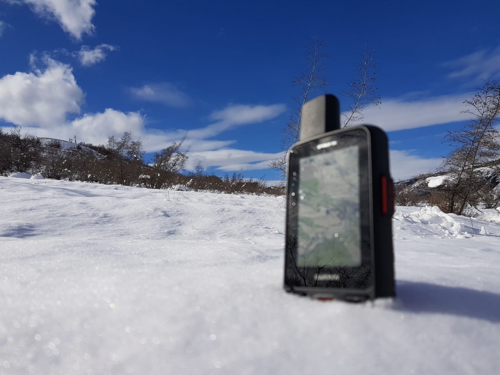
For multi-day trips, guided work or anyone replacing a paper-map habit, that combination is hard to argue with. The 3 inch colour screen is large enough to actually read in bright light, which is the opposite of the Mini 2 experience. Experienced backcountry users describe it as a unit that replaces a handheld GPS plus a separate satellite device.
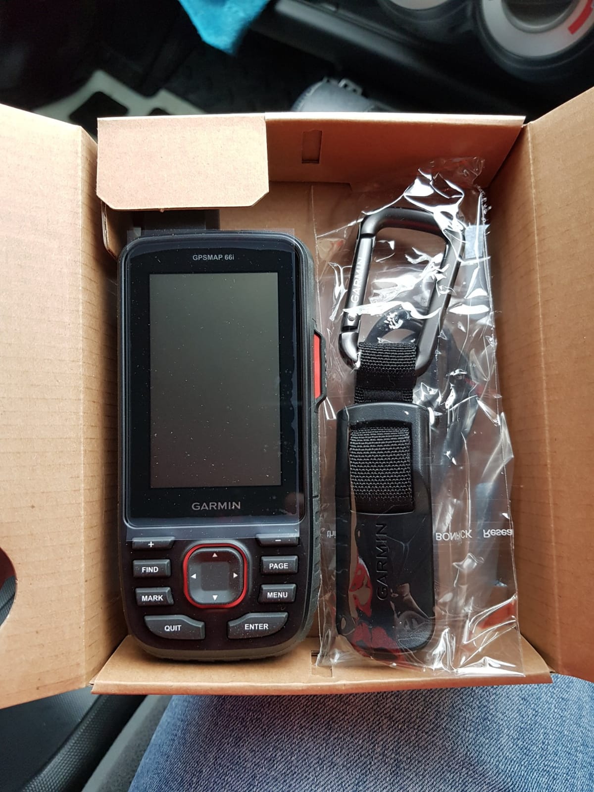
Owners report the battery claims hold up, with roughly 35 hours of active use and a jump to about 200 hours in Expedition mode on 30-minute tracking. Mapping is also good news for international hiking, because the maps and imagery are preloaded and need no annual subscription, unlike a phone map app.
There is a learning curve that experienced Garmin users still complain about. The interface is dated, the Basecamp desktop workflow is better than the documented one, and GPX imports are unreliable enough that people route-plan elsewhere. Early firmware also caused some units to struggle for a satellite lock, so update it before you rely on it.
Who the GPSMAP 66i suits
Anyone carrying maps and a communicator as two separate tools today. If your trip involves route-finding rather than pure emergency contact, the navigation half of this device earns its bulk on its own.
It also suits people who want weather. Active forecasts over cellular and full multi-GNSS support with 16 GB of internal storage are things the small communicators simply do not offer.
Where the GPSMAP 66i falls short
It is the bulkiest item in this roundup and the heaviest thing most casual hikers will ever put in a pack. For a weekend on a marked trail it is honestly overkill, and reviewers say so directly.
The messaging and SOS features still require a paid satellite subscription. You are buying navigation that works without one and a communicator that does not, and many owners end up paying for both halves while only using the maps.
3. Garmin inReach Messenger – Best for Long Trips and Large Groups
Garmin inReach® Messenger Satellite Communicator, Global Two-Way Messaging
Weight: 4 ounces
Battery: 28 days tracking
Group messaging
BeiDou, GPS, Galileo, QZSS
Phone charging
Pros
- Group messaging updates several contacts at once
- Preset check-in messages do not use plan credits
- Up to 28 days of battery in 10-minute tracking mode
- Phone safety charging tops up a dead phone
- Fast setup with a clear first-run experience
Cons
- No topographic maps built in
- An active subscription is required for messaging and SOS
- Monochrome non-touch display limits on-device use
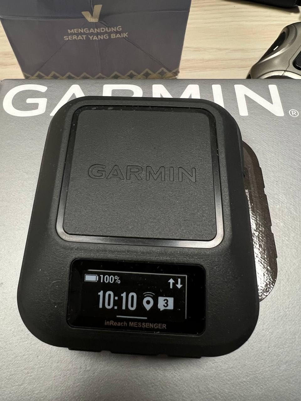
The inReach Messenger is the communicator to look at when several people need updating at once. Group messaging sends to multiple contacts simultaneously, which turns a 15-minute satellite wait into one efficient transmission rather than four.
The other standout is the free preset check-ins. Because they do not count against your text message allotment, you can send a daily status update all trip without burning through the messages you might need for something important. That is a small design decision with a real effect on a long expedition.
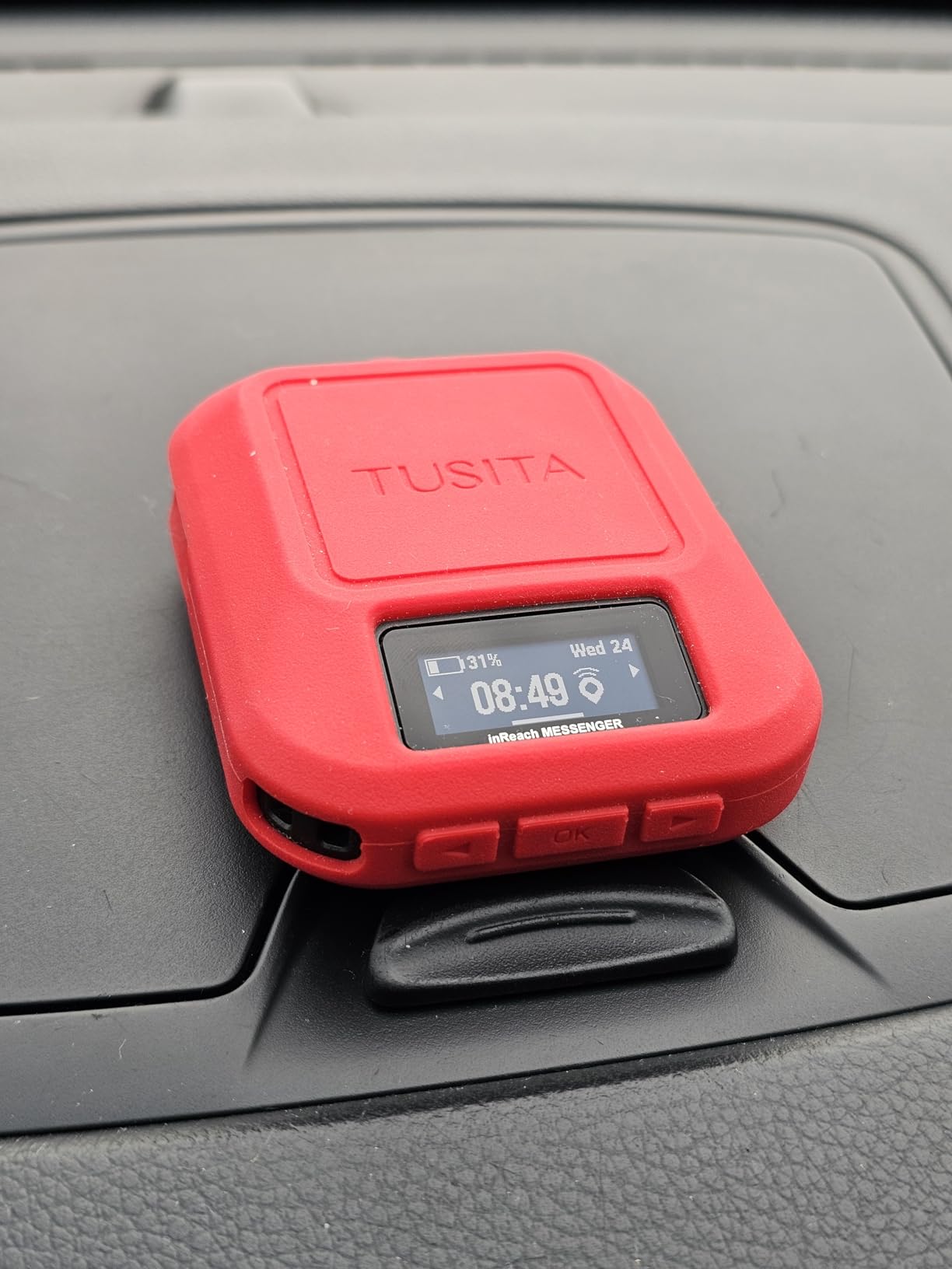
Battery is the quiet headline number here, with a rated 28 days in 10-minute tracking mode. The internal battery also doubles as an emergency power bank for a phone that has died, which we have seen turn into a genuinely useful conversation with someone at home.
The device is a communicator, not a navigator. There is no detailed topographic mapping, the display is monochrome and non-touch, and the 2.74 cm screen is for confirming status rather than composing. Multi-GNSS support across BeiDou, GPS, Galileo and QZSS helps it lock a position fast, which matters when you have moved into new terrain.
Who the inReach Messenger suits
Groups, families with several people watching, and anyone on a trip long enough that battery margin matters. If you are coordinating a party of four and the arrival time matters, group messaging is worth more than a bigger screen.
It is also a good second inReach for people who have already committed to Garmin plans and want a cheap way to add a family member’s device to the same account.
Where the inReach Messenger falls short
The screen is small and there is no map. Hikers who want the device to double as navigation should look at the GPSMAP 66i instead of adding a phone and a paper map back into the equation.
Like every inReach, it needs an active subscription. Owners are also candid that the monochrome non-touch display makes on-device interaction feel dated next to modern apps.
4. ZOLEO Satellite Communicator – Best Value Two-Way Communicator
ZOLEO Satellite Communicator (Slate Grey)
Weight: 12 ounces
IP68 waterproof
Battery: over 200 hours
Iridium network
Unlimited check-ins
Pros
- Runs on Iridium
- the same constellation as Garmin inReach
- Over 200 hours of battery with owners reporting a full week per charge
- Unlimited check-ins and automatic location sharing in the plan
- IP68 waterproof with a limited lifetime device warranty
Cons
- No screen and no keypad
- Companion app setup and contact configuration are poorly documented
- Message delivery can take several minutes with an obstructed sky view
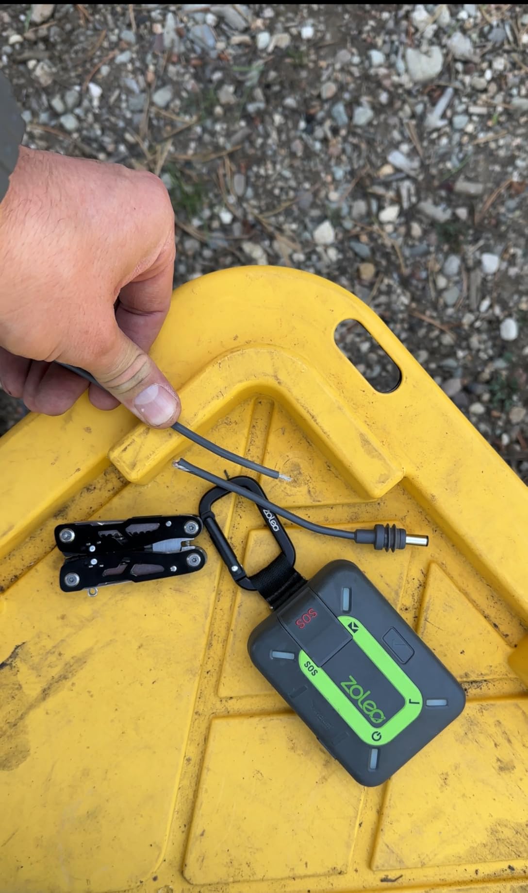
ZOLEO is the rational answer for a lot of hikers, and it is the counter-pick that comes up most often in forums when people push back on the Garmin default. It runs on Iridium, so the coverage is the real thing, not a partial service, and it does the core job of two-way messaging, location sharing and interactive SOS.
The plan is the selling point. Unlimited check-ins and automatic location sharing are included, and the app intelligently routes a message over Wi-Fi first and cellular second, spending satellite credit only when there is genuinely no other option. Hikers who message family every evening care about that, and users describe being able to text as invaluable.

With over 3,000 reviews behind it, ZOLEO has one of the largest owner bases in the category, and the pattern in those reviews is consistent: people who spend an hour learning the app rate it very highly, and the low ratings concentrate on setup confusion rather than hardware failure. Battery claims of more than 200 hours line up with owners reporting a week of continuous use.
The physical design is the trade-off. There is no screen and no keypad, so the device is a puck with buttons. A European user in a forum thread described ZOLEO, SPOT and the Motorola Defy as broadly interchangeable standalone emergency options, which is fair, but the day your phone dies this is the least useful device on the list for ordinary conversation.
Who the ZOLEO communicator suits
Occasional hikers who want real Iridium coverage without the Garmin ecosystem, and anyone who plans a modest number of trips a year and wants a plan structure that does not punish them for it.
It also suits people who mostly check in rather than talk. Unlimited check-ins and automatic location sharing cover the reassurance use case fully, and a European camper on a forum noted the annual cost works out at a level they considered fair for what they got.
Where the ZOLEO communicator falls short
No screen means no message history and no way to confirm what you sent. Users also report occasional check-ins going out without coordinates attached, which is precisely the moment you need them.
The subscription terms are a common source of complaint. Auto-renewing monthly fees and activation conditions catch people out, so read the current terms before you set it up, and check what happens to the device if a plan lapses.
5. Spot Gen 4 – Best for Tracking Kids, Pets and Casual Day Hikers
Spot Gen 4 Satellite GPS Messenger
Weight: 142 g
Globalstar network
Motion-activated tracking
SOS button
USB rechargeable
Pros
- Simple and dependable from a long-established safety brand
- Motion-activated tracking sends updates while moving and while stopped
- Independent of cell coverage on the Globalstar network
- Compact enough for a childrens backpack or a pack lid
- Quick start guide included and activation is straightforward
Cons
- One-way communication only with no two-way messaging
- No on-device mapping or navigation
- Bulkier than the Garmin and ZOLEO units
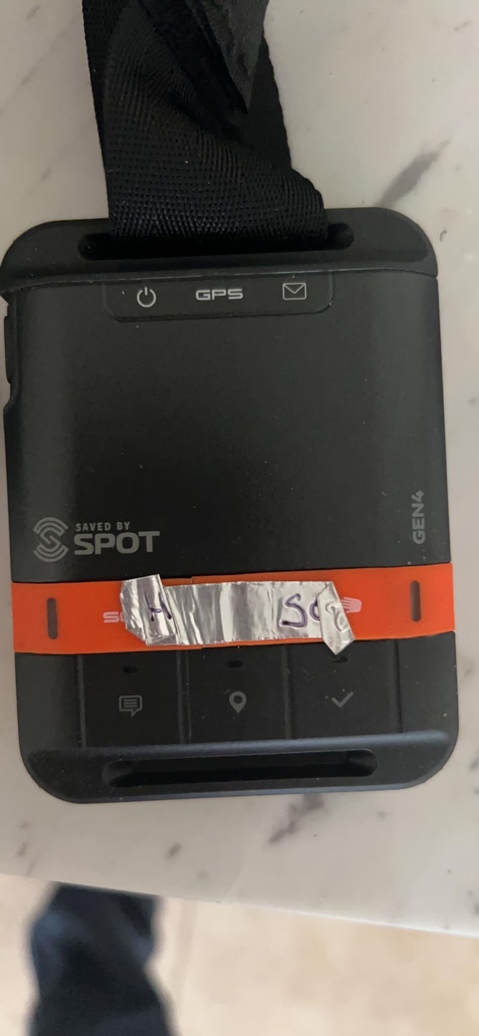
The Spot Gen 4 does the simplest job in the category and does it without drama. It sends your location, tells contacts you are fine, and puts an SOS to emergency responders when you press the button. That is the entire feature set, and the appeal is that there is almost nothing to learn.
Motion-activated tracking is the detail that makes it useful day to day. It transmits updates when you are moving and when you stop, so a family watching a map sees a track that pauses at camp instead of a straight line through it. It is a natural fit for a childrens backpack, a dog collar or a casual hiker who just wants a dot on a map.
SPOT is one of the oldest names in satellite safety, and owners treat the Gen 4 as the version that finally got simple. The box includes the device, strap and carabiner, USB cable and batteries, and two service plans are available. Setup is a short process with the quick start guide.
It runs on Globalstar rather than Iridium, which is the network trade-off to understand before buying. Globalstar coverage is less complete globally and degrades at high latitude, which is exactly where you might want it most on an Alaska, Iceland or polar trip. It also cannot receive a reply, so nobody can tell you to turn around.
Who the Spot Gen 4 suits
Parents, pet owners and anyone who mainly wants to be found rather than to converse. There is no keyboard, no app learning curve and no premium plan to understand, which makes it a good first device for a young hiker to carry.
It is also the only device here with a genuinely low barrier to entry for a group that just needs shared tracking, like a family walking three separate trails on the same weekend.
Where the Spot Gen 4 falls short
One-way only. If a contact replies, you never see it. That is a real limitation when weather turns and the person at home wants to tell you to wait.
At 142 g it is heavier than the Garmin and ZOLEO units despite doing less, and the Globalstar network is the weaker choice for high-latitude hiking. If you are heading north, this is not the device.
6. ACR ResQLink View PLB – Best for Zero Recurring Fees
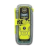
ACR ResQLink View PLB425 – Buoyant GPS Personal Locator Beacon – 2922
406 MHz distress signal
121.5 MHz homing beacon
No subscription
COSPAS-SARSAT coverage
Buoyant
Pros
- No subscription or monthly fees
- Direct distress signal to search and rescue via COSPAS-SARSAT
- Buoyant and waterproof for water as well as trail
- Multiple attachment options including belt clip and lanyard
- LED and infrared strobes give rescuers a visual target
Cons
- SOS only with no two-way messaging
- Must be registered with the relevant authority before use
- Buzzer is loud enough to be intrusive
The ResQLink View is the odd one out and the cheapest to own over time, because there is no plan. Activate it, register it, and it sends a 406 MHz distress signal with your GPS position directly to search and rescue agencies worldwide through the COSPAS-SARSAT constellations. No monitoring centre sits in the middle, and no one bills you.
That independence is the appeal. Owners note the transmission power outperforms lower-powered subscription beacons, and the LED plus infrared strobes give rescuers something to aim at in poor visibility. The 1 inch OLED screen gives instant confirmation that the unit is powered and working, which is more reassurance than most beacons offer.
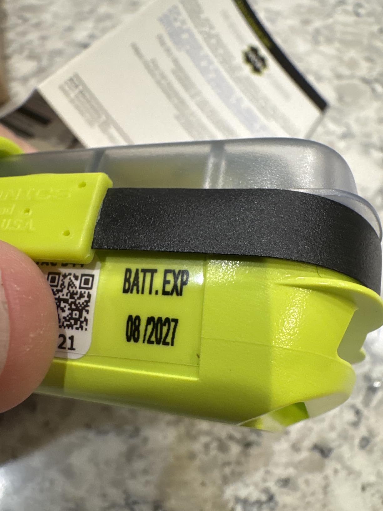
It is also buoyant and waterproof, so the same device covers flat-water paddling and boating as well as hiking. Rated battery life is 28 hours of distress transmission, the enclosure comes with a belt clip, straps, lanyard and an oral inflation tube clip, and it carries a five-year limited warranty with multi-year battery life.
What you give up is everything conversational. There is no two-way messaging, no check-ins, no shared tracking link, no weather, no contact list. When you press SOS, the beacon tells search and rescue where you are and nothing else. Pre-canned test messages exist but need the optional 406Link testing subscription.
Who the ResQLink View suits
Anyone who wants rescue insurance without a recurring bill, and anyone whose family would balk at an annual subscription. Buy it, register it, put it in a pocket and forget about it for five years.
Paddlers and sailors get extra value from the buoyant, waterproof enclosure. It is the most robustly built thing in this roundup.
Where the ResQLink View falls short
You cannot talk to anyone. If you break an ankle and can hobble, the beacon reports your coordinates and waits. It does not tell you the forecast, does not confirm the rescue is coming and does not let you reassure anyone.
Registration is mandatory and has to be done with the relevant authority for where you are going, and some units ship with region-specific registration. Skip that and the beacon is a paperweight. The buzzer is also loud enough that some users find it intrusive in a tent.
7. Spot X – Best for Standalone Two-Way Messaging Without a Phone
Spot X with Bluetooth 2-Way Satellite Messenger
Weight: 7.04 ounces
Battery: 240 hours
Globalstar network
Dedicated US mobile number
Pros
- Two-way satellite messaging over Globalstar to any number or email
- Works standalone with a dedicated US mobile number for replies
- 24/7 SOS with confirmation that help is on the way
- 240-hour battery life for its size
Cons
- Heaviest and tallest unit in this roundup
- Small non-touch display with most interaction through the phone app
- Globalstar has less global coverage than Iridium
The Spot X is the one device in this roundup that can receive a reply without a phone in your hand. It runs standalone with a dedicated US mobile number, so a contact can text it and the message lands on the device. For a hiker whose phone is dead, wet or simply in a separate pocket, that is a real advantage over the phone-dependent designs.
SOS handling is also more reassuring than most. It routes to a 24/7 search and rescue service and gives you confirmation that help is on the way, rather than a silent transmit. And it will message any cell number or email address from remote areas.
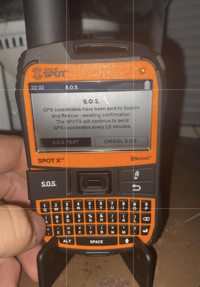
With 240 hours of rated battery it holds its own on paper, and the box is well thought out with a strap, carabiner, micro USB cable, quick start guide, kickstand and a mirrored SOS sticker you can tape to the outside of a pack.
Reviews are the problem. Among the two-way communicators here it scores lowest, with owners citing finicky Bluetooth pairing, an interface that depends heavily on the phone despite the standalone claim, and Globalstar’s more limited coverage compared with Iridium. Cross-brand sentiment in the forums is that SPOT is being ruled out by people who want two-way reliability, with cost the only thing pulling them back.
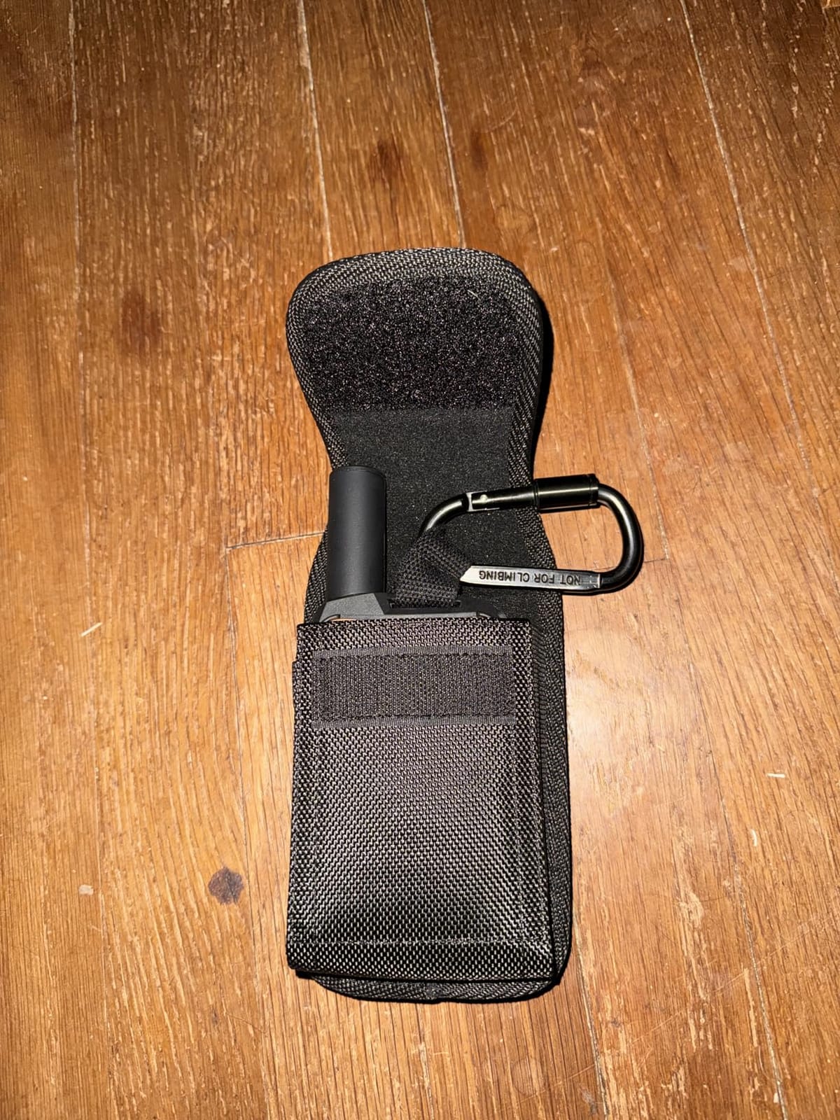
Who the Spot X suits
Hikers who want a physical device with its own phone number and no dependence on a paired handset. That group is smaller than you would think, but for them it is the decisive feature.
It is also a reasonable choice for international hiking where travellers want a familiar brand with a straightforward service plan, and one forum user running a SPOT X on a low annual rate reported a serviceable experience for years.
Where the Spot X falls short
It is the largest and heaviest unit we tested, at over 6 inches tall, and it is the biggest thing in a pack for the least navigational capability. The small non-touch display pushes most interaction back to the app.
The rating spread is the honest caution. Owners report service and connectivity problems as the main complaint, and repeated cross-brand forum sentiment treats it as a dated alternative rather than a first choice. If two-way reliability matters to you, the Iridium devices above do the same job better.
8. ACR Bivy Stick – Best for Lightweight Group Trips
ACR Bivy Stick – Iridium Satellite Communicator, GPS Tracker & SOS
Weight: 3.35 ounces
Iridium network
GroupTrack for 12
Pros
- Full Iridium coverage
- the same constellation as Garmin inReach
- Very light at 3.35 ounces and slim enough for a pack lid
- Offline map downloads work without cell service
- GroupTrack supports messaging and tracking for up to 12 people
Cons
- No readable built-in display so a dead phone means no access
- App and firmware bugs that can stop tracking and messages
- Bluetooth drops intermittently on some Android devices
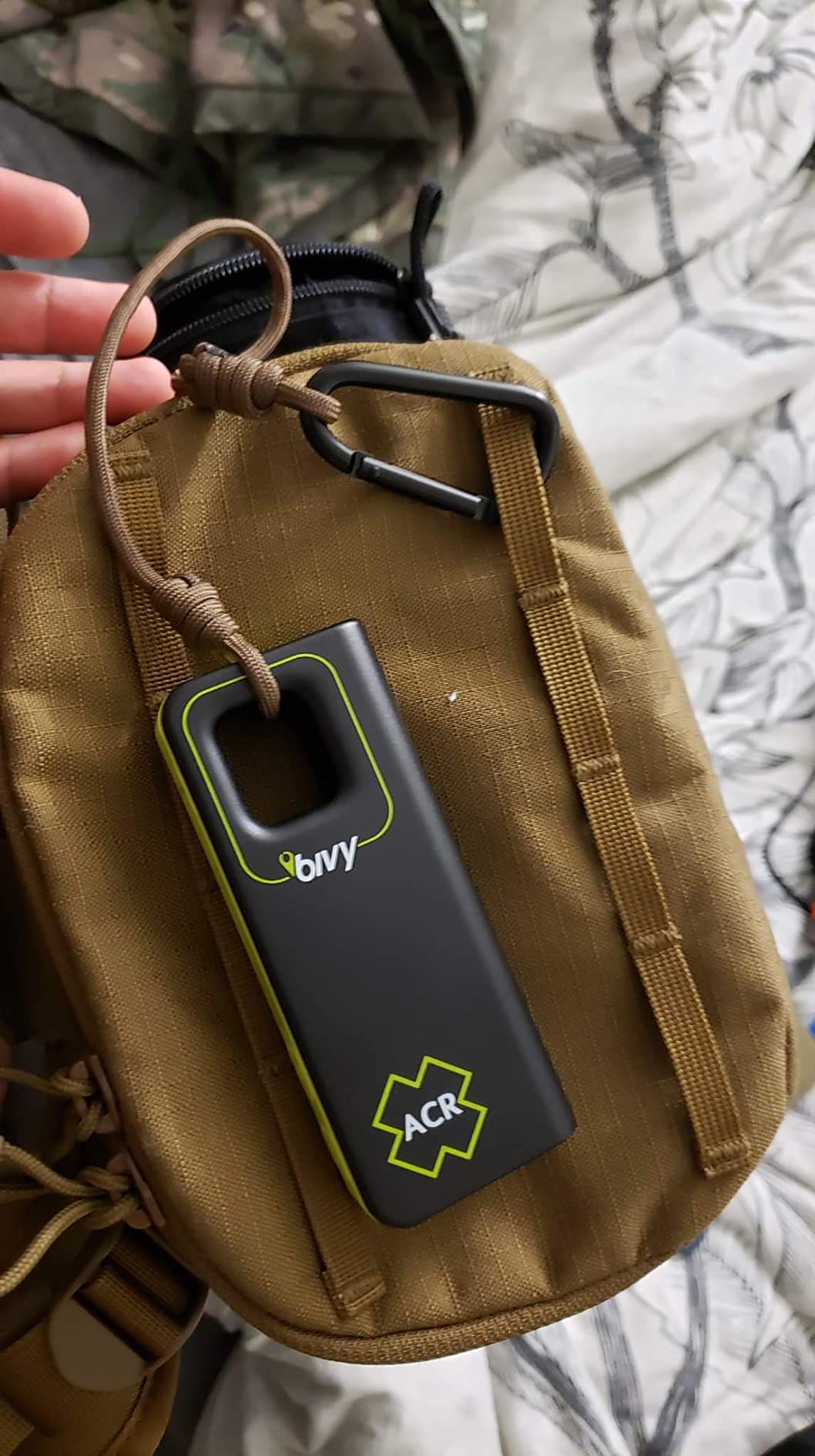
The Bivy Stick is the interesting one. At 3.35 ounces it is the lightest Iridium communicator here by a wide margin, it covers 100% of the Iridium network, and it adds offline map downloads inside the app so navigation works with no cell service and no paper-map habit.
GroupTrack is the feature no other device on this page has in the same form. It supports group messaging and live tracking for up to 12 people with a breadcrumb trail, so a large party can run on one subscription arrangement. Unlimited customizable check-ins are included and unused points roll over to the next month.
SOS goes to Global Rescue around the clock and can be triggered from the device or the app, and activation assigns a dedicated SMS number and email address. Plans come in monthly and annual tiers with a one-time three-month commitment per device, and ACR customer service is repeatedly praised for free replacement units.
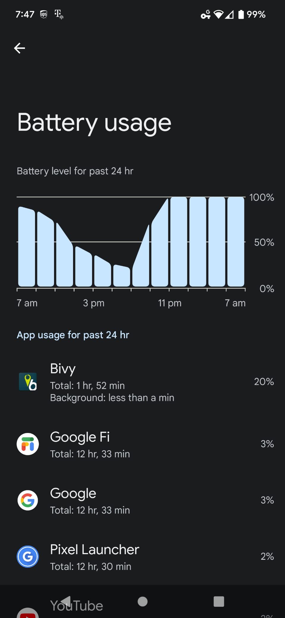
Reviews polarize, and the split is instructive. Enthusiastic owners describe a cost-effective Iridium communicator with generous plans and several write that it saved their lives. Critics point at app crashes that stop route tracking and incoming messages, Bluetooth dropping on some Android phones, and a genuine lack of any on-device display, which means a dead phone leaves you with buttons and no information.
Who the Bivy Stick suits
Weight-conscious hikers carrying Iridium coverage who do not want a Garmin. At 3.35 ounces it disappears into a pack lid, and the offline maps cover the navigation gap that every screenless communicator shares.
Large groups get the best deal here, with GroupTrack covering up to 12 people on one arrangement. People who take the time to practise with the app rate it far higher than those who skip that step.
Where the Bivy Stick falls short
No readable built-in display is the biggest structural weakness. It is the same complaint that ZOLEO draws, and it matters more here because a phone crash is the exact scenario the device is meant to survive.
Reliability is the second. The 3.8 rating is the lowest in this roundup, with a 16% one-star share citing units failing after a couple of years, on top of firmware bugs and pairing drops. Buy it for the Iridium coverage and the weight; do not buy it because it is cheap.
Where Satellite Signals Fail – Canyons, Tree Cover and Cliffs
Satellite communication is line of sight to orbit. Devices here use three different systems, and they fail in different places, which is the single most useful thing to understand before you depend on one.
The Iridium devices, which is the Garmin inReach Mini 2, the GPSMAP 66i, the ZOLEO and the Bivy Stick, use a low-earth-orbit constellation that gives genuinely worldwide coverage including high latitudes. Hikers on Alpine, Scandinavian, Alaskan and polar routes get far more consistent service from Iridium than from the alternatives.
Globalstar, which is the network behind the Spot Gen 4 and the Spot X, is a partial-coverage system with weaker performance at high latitude, above roughly 70 degrees. That is a meaningful limit for Iceland, northern Scandinavia and polar trips, and it is a documented reason some hikers rule SPOT out entirely.
COSPAS-SARSAT, the system in the ACR ResQLink View, is a distress-only architecture and does not behave like a messaging network at all. It is built to transmit a beacon reliably, not to carry a conversation.
Terrain matters more than latitude in practice. A canyon wall, a cliff overhang or a dense canopy can block the sky view a device needs, and ZOLEO owners specifically report that message delivery can take several minutes when the sky view is partially obstructed. The fix is physical and boring: climb a few metres, step out from under the rock, hold the device flat with the antenna up, and wait. A Backpacking Light forum gear guide singled out the SPOT Gen 4 as delivering the best messaging under tree cover, which is a useful counterweight to the general rule that orbit size beats everything else.
Our broader guide to satellite messengers for backpacking goes deeper on the terrain and message-timing behaviour that hikers report in the field.
Beacon, Communicator or Navigator – Which One Do You Actually Need?
Most people asking this question are choosing between three categories and paying for features they will not use. Work out which sentence describes you.
You want someone to know where you are, and for you to be able to reply: a two-way communicator. That is the Garmin inReach Mini 2, the inReach Messenger, the ZOLEO, the Bivy Stick or the Spot X. Five of our eight picks sit here, and the choice is about weight, screen and plan structure rather than safety.
You want an alarm that costs nothing to keep: a personal locator beacon. The ACR ResQLink View sends a distress signal straight to search and rescue with no subscription, which is the cheapest long-term safety you can buy, and it is the right pick when the budget conversation at home is about recurring fees.
You are lost, not stranded: a navigator. Only the Garmin GPSMAP 66i combines full topographic mapping with a communicator, and it is the one device here that removes the need to carry a separate handheld GPS.
Can a communicator replace a beacon? For most hikers, yes, because the interactive SOS is monitored and gives rescuers more information. The case for carrying both is specific: regions where personal locator beacons are the recognised standard, situations where you want distress signalling that no expired plan can disable, and trips where a partner carries a beacon as a backup to a device with a battery and a screen.
What the Subscription Actually Costs Over Five Years
Device cost is the number you see once. Subscription is the number that decides whether people keep using the thing or let it lapse, and it came up more than any other objection in the forums we read.
Every true communicator here needs an active plan for messaging and SOS, with the single exception of the ResQLink View, which is why it exists as a category. Both Garmin inReach devices require an active satellite subscription, the ZOLEO app needs a service plan for global messaging, the Bivy Stick runs on monthly or annual Basic, Plus and Unlimited tiers with a one-time three-month commitment per device, and both SPOT devices need one of their two available service plans.
The two questions that decide your five-year total are whether the plan can be suspended between trips, and whether activation carries a fee. Low-cost suspended or standby rates between trips are the feature that makes ZOLEO and the Bivy Stick rational for people who walk three or four times a year, and it is worth asking a service before you sign up rather than after. Ask the same question about overage message rates on every plan, because that is what a group trip runs into.
Know what happens when a plan lapses. Owners report frustration with auto-renewing monthly fees and with subscription terms in general on both the ZOLEO and the Bivy Stick, and the honest answer across the category is that SOS behaviour without an active plan is not something to test on yourself. Treat the plan as part of the device, budget for it annually, and set a reminder before the anniversary.
If cost is the blocker, the honest order of operations is: buy a beacon if you want zero recurring cost, pick a plan with a genuine suspension option if you hike a few times a year, and use credits deliberately if you go often. None of the eight devices on this page is a purchase to make on the sticker number alone.
Pre-Trip Testing: Six Things to Do Before You Walk Out
Most first-time SOS transmissions happen in a car park, and most field failures are setup failures. Six steps, done at home, cover almost everything.
1. Charge it fully and confirm it powers on. A device that has been in a pack for three months at 4% is the most common cause of a failed check-in.
2. Update the firmware and the companion app. Early firmware on the GPSMAP 66i caused satellite lock problems, and Bivy Stick owners report app crashes that stop tracking and incoming messages until updated.
3. Activate the plan, set your check-in interval, and add your contacts properly. ZOLEO owners in particular flag that contact configuration in the app is the step most often done badly.
4. Send a test message to a real contact and have them reply. This is the only way to learn how many minutes your device actually takes and whether replies come back to the device or only to your phone.
5. Test the SOS function using the manufacturer’s test mode, not by holding the button. A Backpacking Light forum guide and the ACR manual both make the same point: a false activation triggers a real search and rescue response. If you do trigger one by accident, cancel it and tell the monitoring centre, do not simply walk away from it.
6. Brief a contact at home. Give them your route, your trip dates, the device you are carrying and a clear instruction on when to escalate. If nobody at home knows what to do with your check-in, the device is decoration. The same conversation should cover what a missed check-in means and who is allowed to call for help.
How to Choose the Right Satellite Communicator for Your Trips
Weight, phone dependence and how often you walk are the three factors that decide it. Here is how the eight devices fall against each other.
Weight first, because it is what people actually cite in forums. The Garmin inReach Messenger and the Garmin GPSMAP 66i are the bulk options, the Spot Gen 4 at 142 g and the ZOLEO at 12 ounces are mid-pack, and the ACR Bivy Stick at 3.35 ounces is the one to pick if every gram is being argued about. The inReach Mini 2 at 99 g sits in the sweet spot of small enough to always carry and large enough to read.
Phone dependence is the second filter. ZOLEO, the Spot X and the Bivy Stick all lean on a paired handset to different degrees, and the Bivy Stick most of all. The Spot X is the only device here with a dedicated standalone number that receives replies without a phone. The GPSMAP 66i reduces phone reliance by putting navigation on the device itself.
Garmin inReach or ZOLEO, the question that comes up more than any other: both run on Iridium, so coverage is comparable and neither is buying you a safety upgrade. The Mini 2 wins on size, screen quality and integration with Garmin watches, plus the interactive SOS. ZOLEO wins on plan structure, unlimited check-ins, battery and the absence of a menu system to learn. A r/backpacking thread on hiking devices simply answers the best overall option question with the Mini 2, while the recurring counter-current in the same discussions argues ZOLEO works mostly the same for less. If you hike four times a year, ZOLEO is the defensible answer. If you hike every weekend, the Mini 2 is.
Polar and alpine hikers should weight Iridium heavily and treat the SPOT devices as a compromise. Canyon and flat-water hikers should weight waterproofing, so the IP68 ZOLEO and the buoyant ResQLink View rise. Families coordinating several hikers should look at group messaging on the inReach Messenger and GroupTrack on the Bivy Stick. And anyone whose objection is the recurring fee should start with the ResQLink View instead of trying to outsmart the subscription.
Our backpacking satellite messenger guide covers the older and alternative models we did not feature here, including the SPOT Gen 4 generation differences and the messenger models that sit below the Garmin range.
Frequently Asked Questions
What is the best satellite communicator for hiking?
The Garmin inReach Mini 2 is the best all-round satellite communicator for hiking. It weighs 99 g, runs on the global Iridium network, sends two-way messages, shares live location through MapShare and triggers interactive SOS to a 24/7 monitoring centre, with up to 14 days of battery in 10-minute tracking mode. The ZOLEO Satellite Communicator is the best value alternative on the same network, and the Garmin GPSMAP 66i is the pick if you also want handheld topographic navigation.
Is there anything better than Garmin inReach?
Nothing is clearly better, and most of the alternatives are worse in a specific way. The ZOLEO Satellite Communicator and the ACR Bivy Stick run on the same Iridium constellation as inReach and cost less, offering unlimited check-ins and a lower-cost plan, but neither has an inReach screen or menu system. The Garmin GPSMAP 66i adds full topographic navigation. Reviewers repeatedly raise SPOT as the alternative and the feedback is that its Globalstar coverage and reliability trail Iridium, particularly at high latitude.
Which satellite communicator is better, Garmin inReach or ZOLEO?
The inReach devices win on size, screen, Garmin ecosystem integration and a better interactive SOS experience. ZOLEO wins on price, plan structure and simplicity, with unlimited check-ins included and a low suspended rate between trips, plus a rated battery life of over 200 hours. Both transmit on the Iridium network, so coverage is effectively the same. The choice comes down to how often you hike and whether you mind a screenless device.
What is the best satellite SOS device for hiking?
For a two-way device, the Garmin inReach Mini 2 is the strongest all-round SOS platform, pairing interactive SOS monitored 24/7 with 99 g of weight. For a dedicated SOS beacon, the ACR ResQLink View PLB is the answer: it transmits a 406 MHz distress signal with a 121.5 MHz homing beacon directly to search and rescue through COSPAS-SARSAT, needs no subscription at all, is buoyant and waterproof, and carries a five-year limited warranty. It cannot send or receive messages.
Do satellite communicators work in canyons?
Sometimes, but not reliably. Satellite devices need a clear view of the sky, and a canyon wall, cliff overhang or dense canopy can block the signal. ZOLEO owners report that message delivery can take several minutes when the sky view is partly obstructed. The fix is to climb a few metres or step away from the rock, hold the device flat with the antenna pointing up and wait for confirmation before moving on. Iridium devices are generally the most consistent in difficult terrain, while Globalstar units such as the Spot Gen 4 and Spot X are weaker at high latitude above roughly 70 degrees.
Do I need an active subscription for a satellite communicator?
Yes, for every true two-way communicator. Messaging, interactive SOS and tracking on the Garmin inReach devices, the ZOLEO, the ACR Bivy Stick and both SPOT devices all require an active service plan. The exception is the ACR ResQLink View, a personal locator beacon that transmits a 406 MHz distress signal with no subscription or monitoring centre. If you want safety with no recurring cost, that beacon is the category designed for it.
What is the best satellite phone for hikers?
For most hikers the honest answer is that a satellite phone is overkill and a communicator is better value, because a phone is large, expensive and built for voice. If you genuinely need one, the Iridium 9575 Extreme is the specialist choice for expedition leaders and commercial guides, offering voice calls alongside data. Among the devices reviewed here, the Garmin GPSMAP 66i is the nearest equivalent, combining satellite messaging with full handheld GPS navigation and a 3 inch color screen.
Bottom Line
The Garmin inReach Mini 2 is the best satellite communicator for hikers in 2026 because it does the core safety job on the Iridium network, weighs 99 g and has the deepest ecosystem around it. The ZOLEO Satellite Communicator is the pick if the annual subscription is the sticking point, and the Garmin GPSMAP 66i is the answer for anyone who also wants to navigate.
Carry whichever you choose with a plan you can actually keep paid, test the message and the SOS before you leave, and give one person at home your route and your instructions. That conversation is worth more than any specification on this page.